Lake Wyle, SC

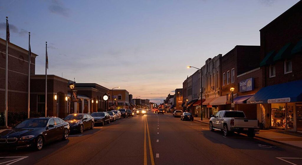
CHARLOTTE, NC
CHARLOTTE, NC
CHARLOTTE, NC
Lake Wyle SC
HOA MANAGEMENT
SERVICES IN Lake Wyle
The unincorporated community of Lake Wylie is located in northern York County, South Carolina. Not to be confused with the body of water known as Lake Wylie. The community of Lake Wylie is located on a peninsula on the actual lake in the area of South Carolina Highway 49 the Buster Boyd Bridge.
The Lake Wylie community is classified as a census designated place by the United States Census Bureau because it is unincorporated (CDP). Other than what the Census Bureau has set forth, there are no legally recorded or defined community borders. The Census Bureau defines Lake Wylie’s CDP as having a total area of 7.84 square miles. The area codes are 803 and 839, and the zip code is 29710.

Historic Overview of Lake Wyle and Other Interesting Points
The lake and community carrying his surname are named for Dr. Walker Gill Wylie (1848–1923). Dr. Walker Gill Wylie, who was born in Chester, South Carolina, moved to New York City to pursue his medical education at Bellevue Hospital. He went on to become a professor of gynecology and a specialist in abdominal surgery. The medical profession and his investment prowess made Dr. Wylie a considerable fortune during his lifetime.
In the 1890s, Wylie grew interested in hydroelectric power generation. Dr. Wylie persuaded tobacco tycoon James B. Duke to invest in the construction of a dam and a hydroelectric plant on the Catawba River. Wylie formed the Catawba Power Company in 1899. He was the president of Duke Power’s predecessor companies, the Catawba Power Company and the Southern Power Company. He was granted a South Carolina charter in 1900 to construct and operate a hydropower station on the Catawba River. On March 30, 1904, the Catawba Dam and a 6,800-kilowatt generating hydropower station in India Hook, South Carolina, were completed and dedicated.
Lake Catawba was the initial name for the lake produced by the Catawba Dam. The lake’s name was changed to Lake Wylie on October 3, 1960, in honor of Dr. Wylie’s contribution to the electrical generation industry in South Carolina. At the time of the lake name change, Governor Ernest F. Hollings of South Carolina referred to the late Dr. Walker Gill Wylie as “the father of modern electricity in South Carolina.”
The actual or physical body of water, Lake Wylie, is a man-made body of water that spans both South and North Carolina. The lake lies in York County, South Carolina, and Gaston and Mecklenburg counties, North Carolina. Lake Wylie is a 13,443-acre body of water with an average depth of 20 feet and a maximum depth of 82 feet. The coastline stretches for just over 325 miles.
Lake Wylie has the distinction of being the oldest lake in the Catawba River Basin and one of eleven such lakes on the Catawba River. The Catawba Nuclear Generating Station and the Allen Steam Station are both located on the banks of Lake Wylie. There are six public boat ramps, initially constructed and maintained by Duke Energy, around the lake.

When it comes to the Lake Wylie community, the Buster Boyd Bridge is probably the most well-known landmark or reference point. This is particularly true when seeking instructions. It’s common to hear someone speak Buster Boyd so rapidly or in such a way that it seems like they’re saying “Buster Boy [sic] Bridge” to the unfamiliar ear.
The Buster Boyd Bridge spans the Catawba River or Lake Wylie to connect South Carolina Highway 49 and North Carolina Highway 49. The bridge is located in Lake Wylie, York County, South Carolina, on the north side, and Steele Creek, Mecklenburg County, North Carolina, on the south side. It’s a four-lane bridge with a sidewalk for pedestrians. The bridge has the distinction of being the only one in either stated, with North Carolina on the southern end and South Carolina on the northern end.
The bridge is named for William Monroe “Buster” Boyd, a Mecklenburg County politician. In 1923, he played a key role in the construction of the first bridge. Hardaway Construction of Charlotte was awarded the bridge construction contract on October 1, 1921, and the bridge was finished on February 15, 1923. The first bridge was made of concrete and steel and measured 1,378 feet in length. Paradoxically, this seventeen-month building schedule was considered excessive for the time. This contrasts with today’s highway development timelines, which are often measured in decades rather than months or years.
The dedication and ceremonial opening of the bridge on August 17, 1923, drew around 12,000 people. A picnic was held, with 3,200 pounds of free BBQ being distributed. A vast array of luminaries spoke at the event, including South Carolina Governor Thomas G. McLeod and North Carolina Governor Cameron A. Morrison. Governor Morrison became known as “the Good Roads governor” for his fervent support of a modern highway system throughout North Carolina.
The original Buster Boyd Bridge cost a total of $103,446 to build. In today’s dollars with inflation, that $103,446 would now be $1,615,536 to build. Mecklenburg County covered two-thirds of the costs, while York County covered one-third. A fascinating legal dilemma occurred during the bridge’s initial construction. Could Mecklenburg County “legally” pay for two-thirds of the bridge’s construction if half of it was built outside of the county and in another state? This issue was taken all the way to the North Carolina Supreme Court, which ruled that Mecklenburg County could pay for the entire bridge if the Mecklenburg County Commissioners deemed that the bridge was beneficial to their county’s population.

Agriculture was York County’s main economic driver throughout the 18th and 19th centuries. Cotton farming began to become popular in York County about the 1840s. Around 1890, textile production became an economic factor, and by the turn of the century, textile manufacturing had begun to supplant agriculture. By the 1920s, textile production had established itself as the most important economic force, and it continued to expand into the 1960s.
By the 1970s textile manufacturing began to decline due to competition from lower priced foreign imports. This decline in textile manufacturing was not only felt in York County but the entire south. One reason that hastened the demise of domestic textile manufacturing was the North American Free Trade Agreement (NAFTA), a trade agreement between the Canada, Mexico, and the United States that was adopted in 1993. For more than a decade, the textile industry’s workforce had been progressively shrinking. NAFTA exacerbated this textile manufacturing decline.
York County and the State of South Carolina made extensive efforts to lure new firms and industries to the Lake Wylie area to counteract the shifting textile-based economy. These economic development efforts have worked out in a large way with a larger and more diverse industrial base. The lake itself offers a distinct economic advantage to the community as well. Homebuyers and visitors alike are drawn to the lake for various reasons. The lake, with its permanent residents and visitors, is a major economic force in the area.
The proximity to Charlotte has been the major driver of Lake Wylie’s economy for the past thirty years. Lake Wylie and the surrounding counties have benefited from Charlotte’s economic expansion, and has turned Lake Wylie into a bedroom community of Charlotte. For those seeking a lake lifestyle or lower taxes, Lake Wylie is only sixteen miles from downtown Charlotte, making daily commutes a simple option. Mean travel time to work in minutes per the United States Census Bureau (2015 – 2019) is 32.6 minutes.
Per the United States Census Bureau:
- Population per the 2020 United States Census was 13,655.
- Population per the 2010 United States Census was 8,841.
- As of 2010, population per square mile was 1,127.1
- 52.3 percent of the population is female.
- 47.7 percent of the population is male.
- 26.4 percent of the population is under the age of 18.
- 16.1% of the population is 65 or older.
- From 2015 through 2019, the median home value was $322,200.
- 77.1 percent of homes are owner occupied.
- Total households (2015 – 2019) were 4,869.
- Population with at least a a high school diploma or above 97.4 percent (2015 to 2019).
- Population with a bachelor’s degree or higher: 50.08 percent (2015 to 2019).
- The Lake Wylie CDP had 1,096 businesses or enterprises (2012).

Previous Location
CITY NAME,STATE
Next Location